Construction Document Scanning
Turn your physical construction documents, such as blueprints and drawings, into high-quality digital files with professional scanning services designed to ensure accuracy and longevity. Whether preserving historical records or streamlining workflows, digitization makes managing and sharing large-format documents more efficient and secure. Incorporating specialized map scanning ensures even geographic and topographic data are preserved with precision.
Advanced scanning technology captures every line and detail with precision, producing digital copies that faithfully reproduce the original documents. Whether handling intricate blueprints or detailed maps, including geographic map scanning, the result is a clear, accurate, and scalable file. This ensures your critical documents maintain their integrity in a digital format.
Digitized construction documents reduce the risk of damage or loss while improving accessibility. By incorporating map scanning into your document digitization process, you can securely store, retrieve, and share all your critical records. Digital files ensure your construction drawings, engineering plans, and geographic maps are always within reach, significantly enhancing workflow efficiency.
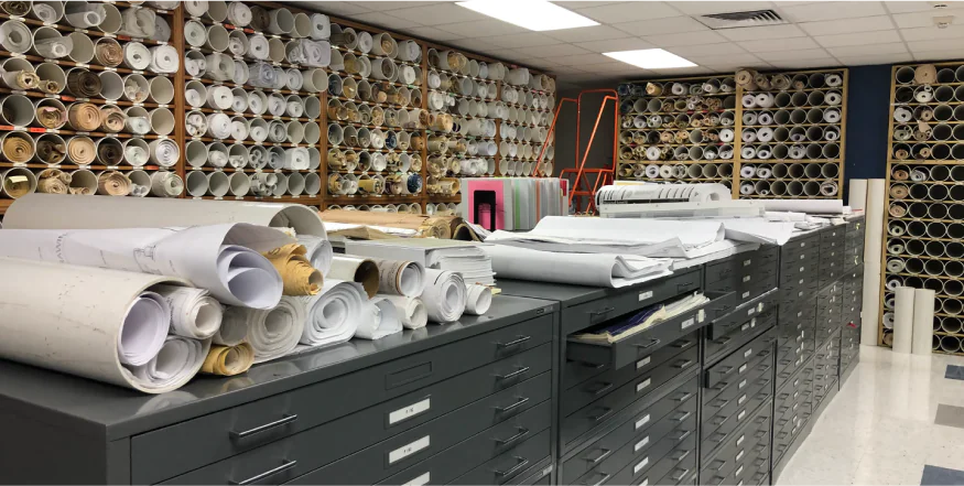
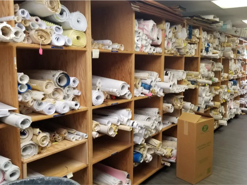
Specialized scanners accommodate large and oversized formats, making them perfect for engineering plans, construction drawings, geographic maps, and architectural designs. No document is too big to be handled with care, and professional map scanning ensures even large-scale geographic details are preserved accurately.
A variety of digital formats, including PDF, TIFF, or JPEG, ensures compatibility with your specific needs. Files are optimized for clarity, making them easy to view, print, or integrate into your systems. Map scanning services offer tailored outputs that meet geographic and topographic documentation standards, ensuring usability in specialized applications.
Digitizing construction documents simplifies collaboration, enhances document sharing, and supports project management tools. Map scanning provides precise geographic and topographic data that integrates seamlessly with planning software and geographic information systems (GIS). Whether for construction, planning, or historical archiving, this service streamlines processes and improves project outcomes.
Advanced scanning technology captures every line and detail with precision, producing digital copies that faithfully reproduce the original documents. Whether handling intricate blueprints or detailed maps, including geographic map scanning, the result is a clear, accurate, and scalable file. This ensures your critical documents maintain their integrity in a digital format.
Digitized construction documents reduce the risk of damage or loss while improving accessibility. By incorporating map scanning into your document digitization process, you can securely store, retrieve, and share all your critical records. Digital files ensure your construction drawings, engineering plans, and geographic maps are always within reach, significantly enhancing workflow efficiency.
Specialized scanners accommodate large and oversized formats, making them perfect for engineering plans, construction drawings, geographic maps, and architectural designs. No document is too big to be handled with care, and professional map scanning ensures even large-scale geographic details are preserved accurately.
A variety of digital formats, including PDF, TIFF, or JPEG, ensures compatibility with your specific needs. Files are optimized for clarity, making them easy to view, print, or integrate into your systems. Map scanning services offer tailored outputs that meet geographic and topographic documentation standards, ensuring usability in specialized applications.
Digitizing construction documents simplifies collaboration, enhances document sharing, and supports project management tools. Map scanning provides precise geographic and topographic data that integrates seamlessly with planning software and geographic information systems (GIS). Whether for construction, planning, or historical archiving, this service streamlines processes and improves project outcomes.
Whether digitizing blueprints, construction drawings, or detailed geographic maps, expert map scanning services deliver the accuracy and efficiency needed to future-proof your records. Reliable digital archiving safeguards valuable documents against damage or loss while enhancing accessibility and usability in the digital age.
Helping you achieve your goals is our priority


